Our Early Beginnings
Kaurna Miyurna (Kaurna People)
Long before the arrival of Europeans the Adelaide Plains and Mount Lofty Ranges was home to Kaurna Miyurna who managed and preserved the environment. By using fire stick farming to clear old grasses and promote fresh plant growth, animals flourished across the region. Kaurna Miyurna still maintain a strong connection with land, sea and waterways.
Kaurna territory extends from Cape Jervis at the bottom of the Fleurieu Peninsula to Port Wakefield on the eastern shore of Gulf St Vincent, and as far north as Crystal Brook in the mid-North with some groups believed to have lived in the vicinity of Clarendon in the Adelaide Hills.
The stringybark forests of the Mount Lofty Ranges have been claimed as the traditional boundary between Kaurna and Peramangk peoples.
In the City of Burnside, Kensington Wama / Kensington Gardens Reserve was a special place for the Kaunra Miyurna. It was a spirit place. The tall gums formed a natural protection against oppressive winds in summer and winter. But the trees had been shaped for hundreds of years by Kaurna firestick practice. The ancient Red Gums not only supplied materials for weapons and domestic use but were part of the ceremonies and rituals that governed life and death.
Over tens of thousands of years, the Kaurna Miyurna laid to rest their warriors, their women, and their children in Kensington Wama.
Words provided by Kaurna Man Allan Sumner of ACA Studios.
The Beginning of Burnside
In 1839, Peter Anderson, a Scottish distiller, established a farm with his family by Second Creek. He named the area Burnside by combining ‘burn’, the Scottish name for creek, and ‘side’ based on his farm's location.
As roads were built leading from Adelaide up to Mount Barker, more people began to build around Burnside. In 1841, silver-lead deposits were discovered in the foothills, attracting miners and their families to the region. In 1849, Nathan Hailes was employed by William Randall to lay out the village of Burnside. Newspaper advertisements for 'Burnside the Beautiful' stated that the land was fertile and boasted picturesque views.
In the early 20th century, Burnside’s population greatly increased. Many areas of land that had been used for farming were sold off for housing. Suburbs closest to the city, such as Toorak Gardens and Dulwich were gazetted and made open to settlement. Today, the City of Burnside is made up of the historic villages of Beaumont, Glen Osmond, Burnside and Magill (formerly known as Makgill).
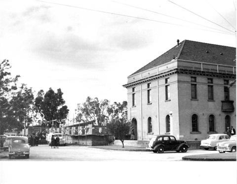
Burnside District Council
The District Council of Burnside was established in 1856. The first meeting was held at Green Gate Inn in Tusmore and Dr Christopher Penfold was the first Council Chairman. The Council was responsible for managing public roads, caring for reserves, managing water supplies, and issuing licences to businesses such as slaughterhouses and public houses. In 1943 Burnside was proclaimed a City.